Park City MTB Epic-16 Challenge
A tough & unique Park City loop encompassing overlooked and new trails. We bet you’ll be pushing your bike in spots:)

All Participants Receive a PC EPIC Challenge Hat
View Full Course Description
Spirit & Safety of this Challenge: While participating in this challenge it is of utmost importance for you to observe all trail rules and proper etiquette including yielding to uphill traffic, all hikers, and riding in a safe manner at all times.
Course: See top of this page for GPX, Strava, Garmin download. For Strava, follow me and you can download the course. You can also see the route on trailforks which includes labeled trails. Note that your fitness app might give different mileages/elevation as stated above. That is common occurrence. Your mileage and elevation gain might seem to differ greatly on this course. As long as you did the course, it’s not a problem!
Note: different apps like trailforks may have different names for trails than what you see on the trail and that are stated below.
Turn by Turn: This tough adventure starts down the street from Deer Valley’s Silver Lake Lodge. Start your fitness app (garmin, strava etc.) at the entrance to the Lookout Trail (hard to see at first) which is located on the west side of Royal St. just north of its intersection with Wheaton Way (connector road down to Marsac Ave.) You’ll start the Challenge by diving down the Lookout Trail between some houses. You might have to dab your foot around the first couple corners. Don’t worry, the Lookout Trail quickly turns into a nice secluded 2ish mile dowhnill that is seldom used. On the way down you’ll pass several cheater trails some of which will lead you into dead ends. Make sure to follow your GPX on you app so you don’t start this ride going off course. Trust me on this! Follow the trail signs towards Rossi Hill. You’ll come to sign that says Rossi Hill both ways. Stay straight/left. The trail dumps you out onto Empire Pass Rd (Marsac Ave). Cross the road and climb onto Ontario Ridge Trail. You’ll climb up and the trail wraps hard to the left. Stay straight on the rough and rocky path. Don’t take the right buttery single track. This section involves a bit of pushing your bike. This is what Park City mountain bike was back in the day…unmanicured narrow single track chock full of rocks topped off with pushing your bike up old mining roads. In a short while you’ll pop onto Ontario Ridge Rd. (dirt road). A few yards up the road will be a junction. Take the dirt road to the right following signs towards Tour De Suds/Ontario Bypass. This dirt road quickly narrows. Continue to follow signs to Tour De Suds and Empire Link Trail. You’ll pass several unsigned jcts. just keep on the main trail and merge onto Empire Link Trail. Enjoy the foilage and the forest canopy and the solitude. Cross the dirt road and continue up onto Empire Link Trail. Up the trail you’ll cross John’s 99 Trail remaining on Empire Link Trail. In a short while Empire Link Trail merges straight into the Mid Mountain Trail (you’ll see a building in the trees). Hang a hard left/U turn on the Mid Mountain Trail. In a little over a half mile the Mid Mountain Trail crossess Link Trail. Make a hard right onto Link Trail. You’ll come out onto a dirt road at the bottom of the Pioneer Ski Lift and McConkey’s Express Lift. Take the dirt road that parallels McConkey’s lift. Yup it’s steep and Yup it’s sustained. This is the Crux of the ride. It’s why we can call it a “Challenge”. Gear Down and Power Up! After the first bend the road visually eases up a bit. Emphasis on “visually”. Don’t quit! Stay on the bike. Never mind that further up the road you can see it steepens. The goal is to remain on your bike until the metal Powder Monkey statue which is located on your left as the road climbs steeply left. Ok 90% of you are allowed to take a break at the Powder Monkey stature. After a break, remount to engage in one last 2 minute….I mean 3 minute slog. Up the road you’ll see 2 single tracks on your left. Take the 2nd freshly cut trail. This is the new 9K Trail! Get ready for some unique sweeping views! Check out Deer Valley and the Uintah’s to your left. A bit further you’ll cross the ridge and be rewarded with unique views of the Heber Valley and Mt. Timpanogos. The 9K Trail will merge into a wide gravel path. Turn left and ride the path thru the parking lot, past the bathrooms, turn left down on the pavement. Shortly down the paved road it makes a hairpin to the left. Slow down and continue straight onto the single track behind the rocks (hard to see at first). The single track rides a short bit and crosses another road and puts you onto Moosebones Trail. You’ll climb on some rocky single track. and then descend. Take a right onto and up Boulder Trail. The trail climbs and spits you at the top of the Quincy Express Ski lift. Turn left on the dirt road and follow it downhill. A bit down the road you’ll cross a bridge. Immediately after crossing the bridge take the single track on your right in the trees (may not be signed but this is Flagstaff Loop). As you enter the forest, a trail will come in from the right, stay straight. You’ll weave thru the trees and then turn right remaining on Flagstaff Loop. At this point watch your fitness app GPS locator to stay on the right course as their are a couple unsigned junctions.. The trail winds thru the trees and then shoots you into the grassy fields of Flagstaff bowl. As you traverse the bowl take the first left turn onto the single track. The trail descends a bit to the east. You’ll bottom out looking at a sign that says “No Uphill Traffic”. Go right and then take a quick left onto the dirt double track (official name is Deer Camp Rd.) It’s a bit of a slog:) Turn right onto Bow Hunter (not signed). Bow Hunter climbs thru the sage and then wraps around the south side showcasing unique and cool views of Mt. Timpanogos, the Jordanelle Reservoir, and the Uintah’s in the distance. The Bowhunter single track merges into a junction of trails. Follow signs and take Holly Roller Trail. Enjoy the Downhill! You made it! You’ll cross a couple trails on the way down. Make sure to remain on Holy Roller the whole way down. At the bottom you’ll shoot straight onto a dirt road. Stay straight on the dirt road towards the ski base area and stop your fitness app (garmin, strava etc.) right as you pass Silver Lake Express Lift House (on your right). Congrats! You Did It!
-
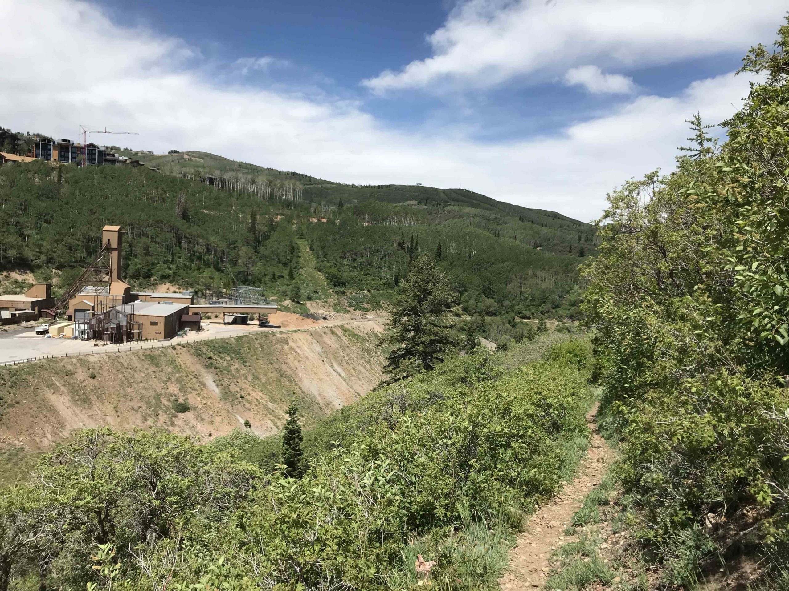
A little bit in on the Lookout Trail
-
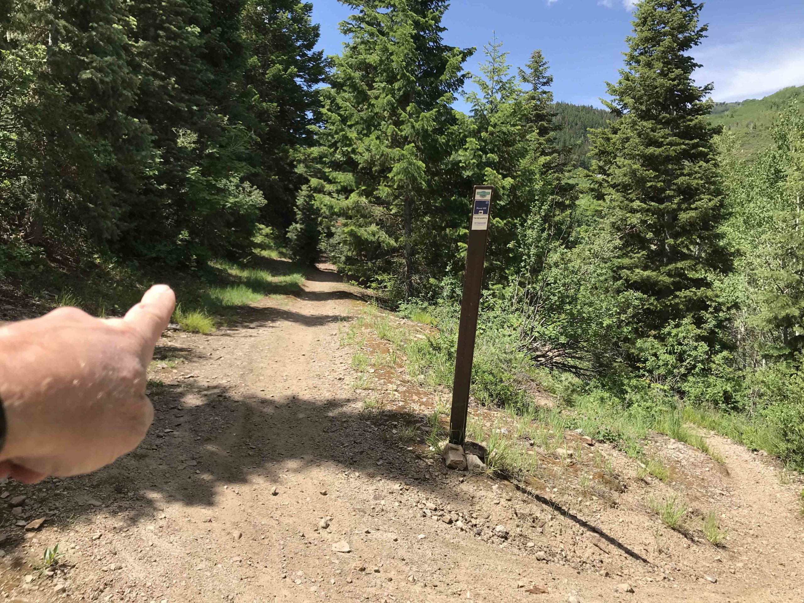
Rossi Trail both ways. Stay straight/left fork
-
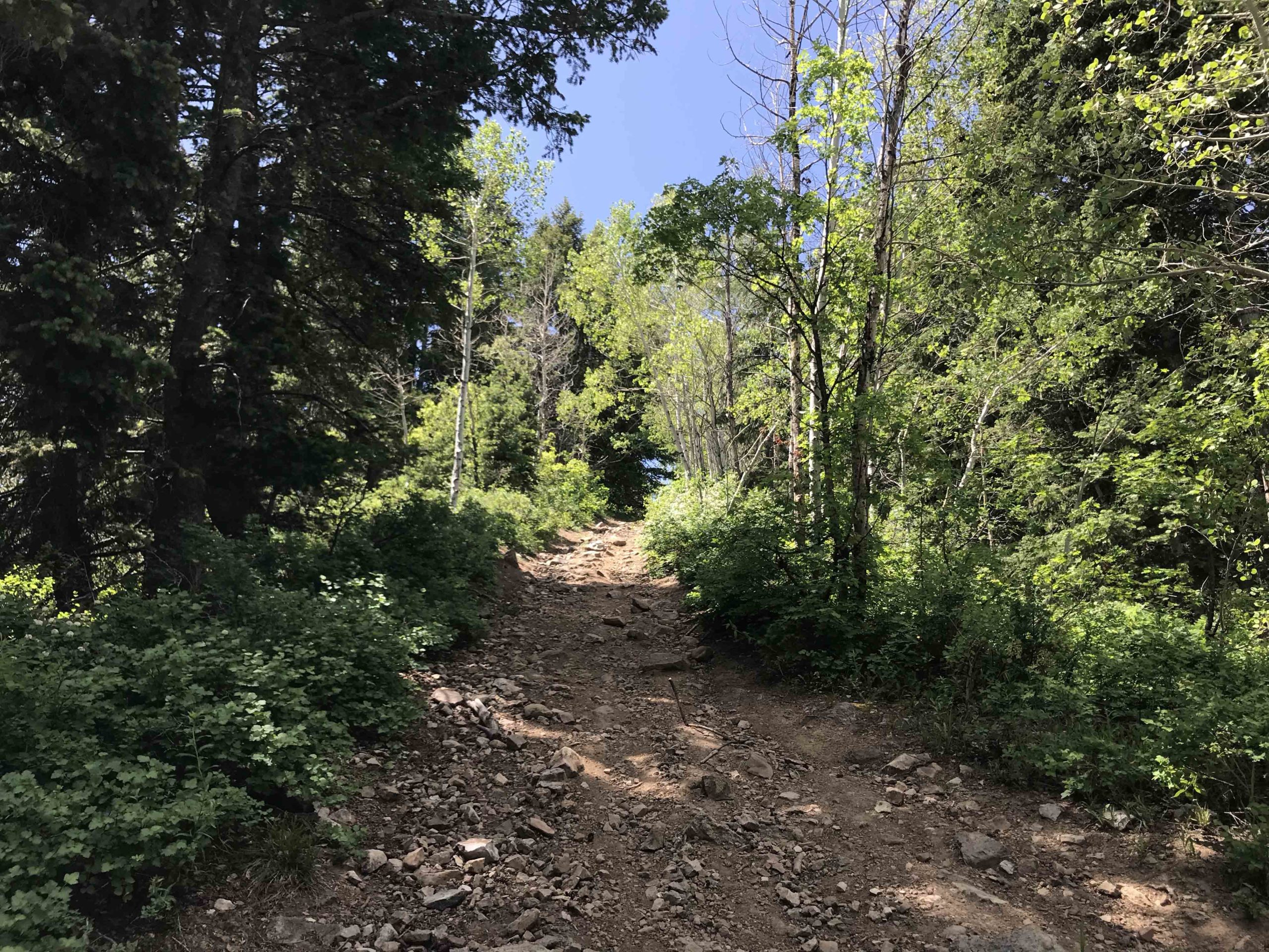
Hike a Bike Bros & Sisters!
-
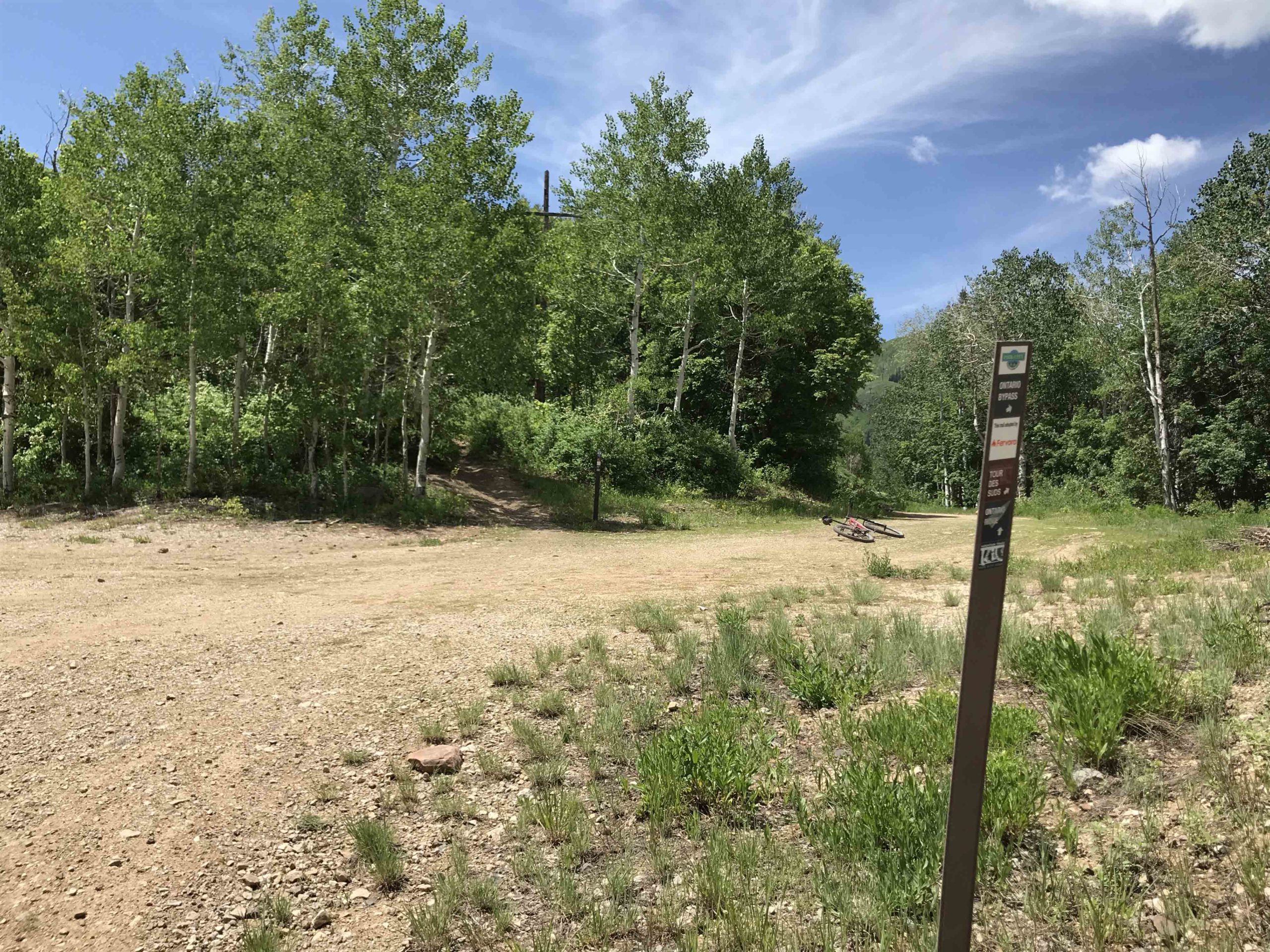
Follow signs towards Tour De Suds/Ontario Bypass
-
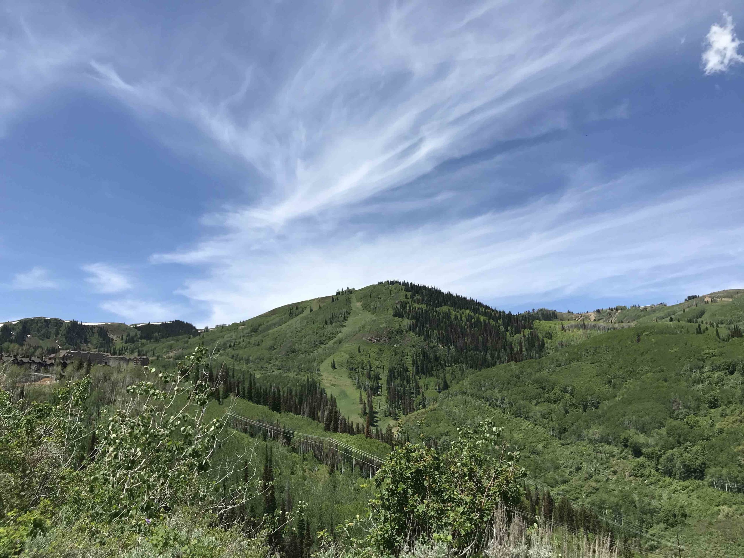
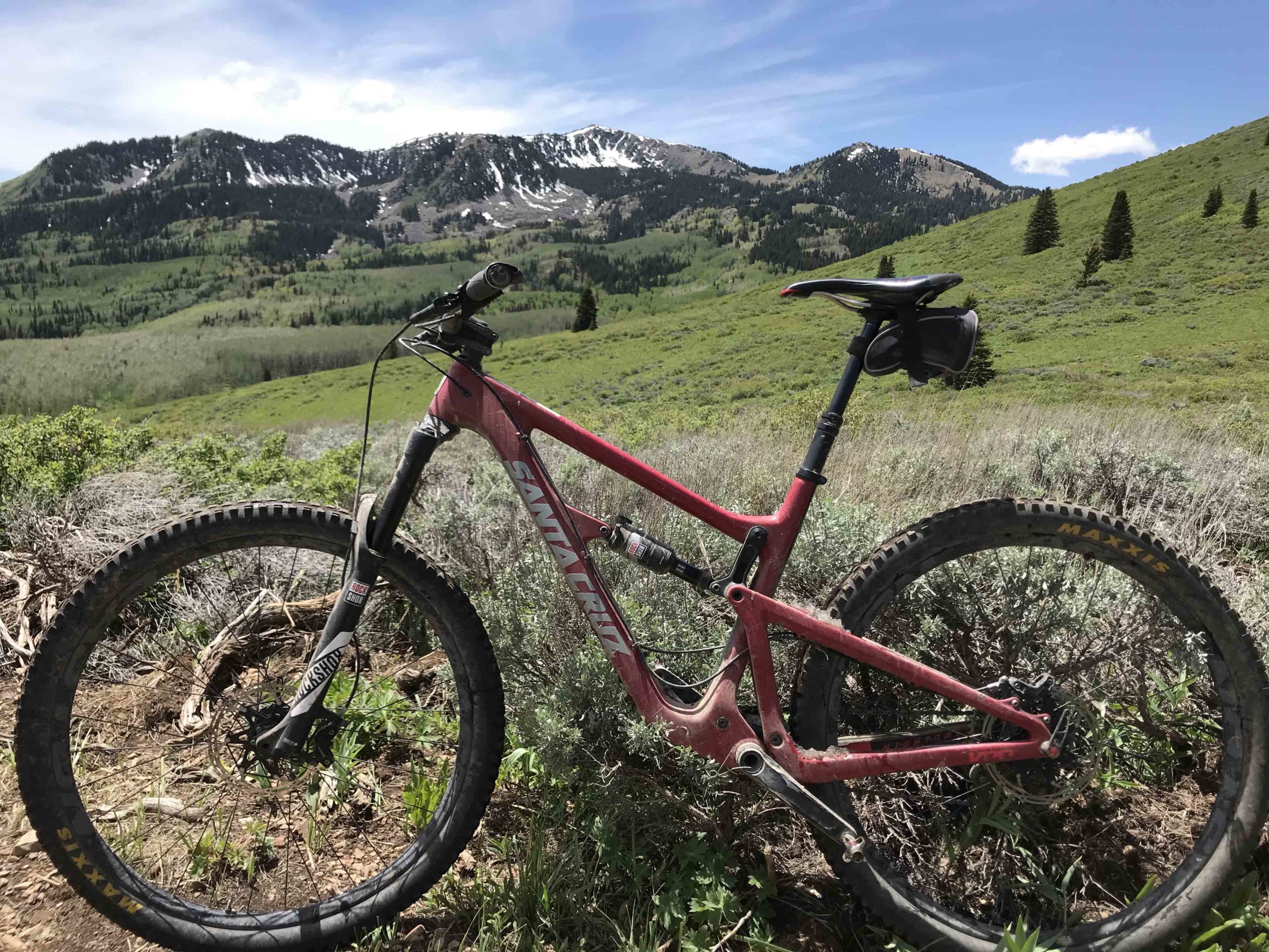
Some Nice Views
-
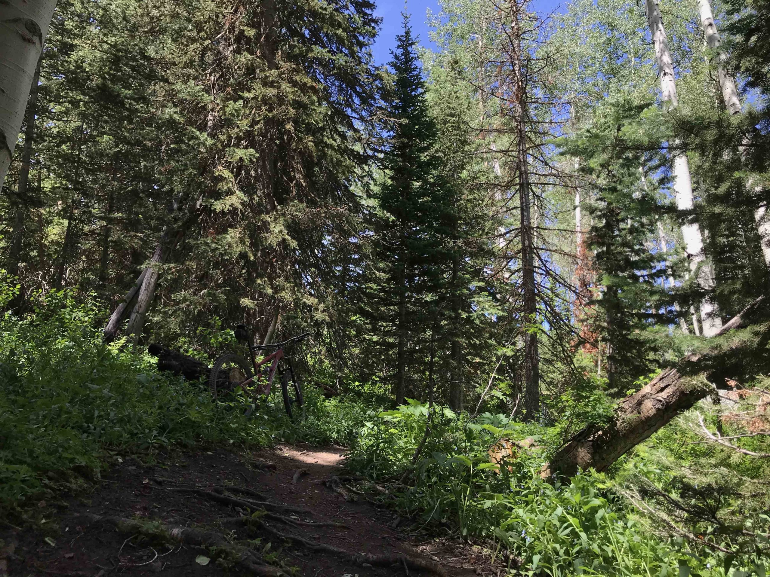
Empire Link Trail.
-
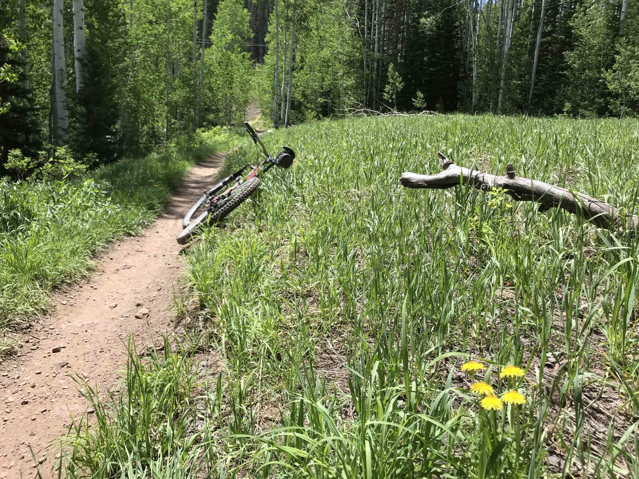
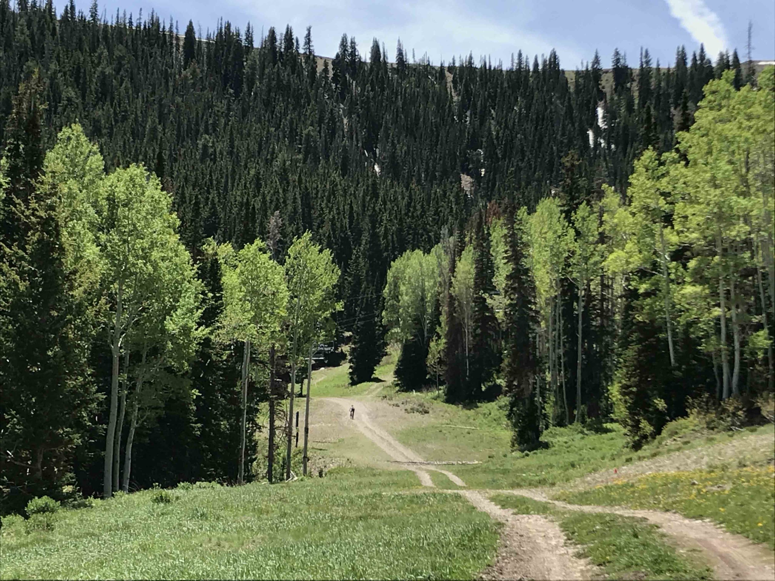
Meadow before the Dirt Road Climb
-
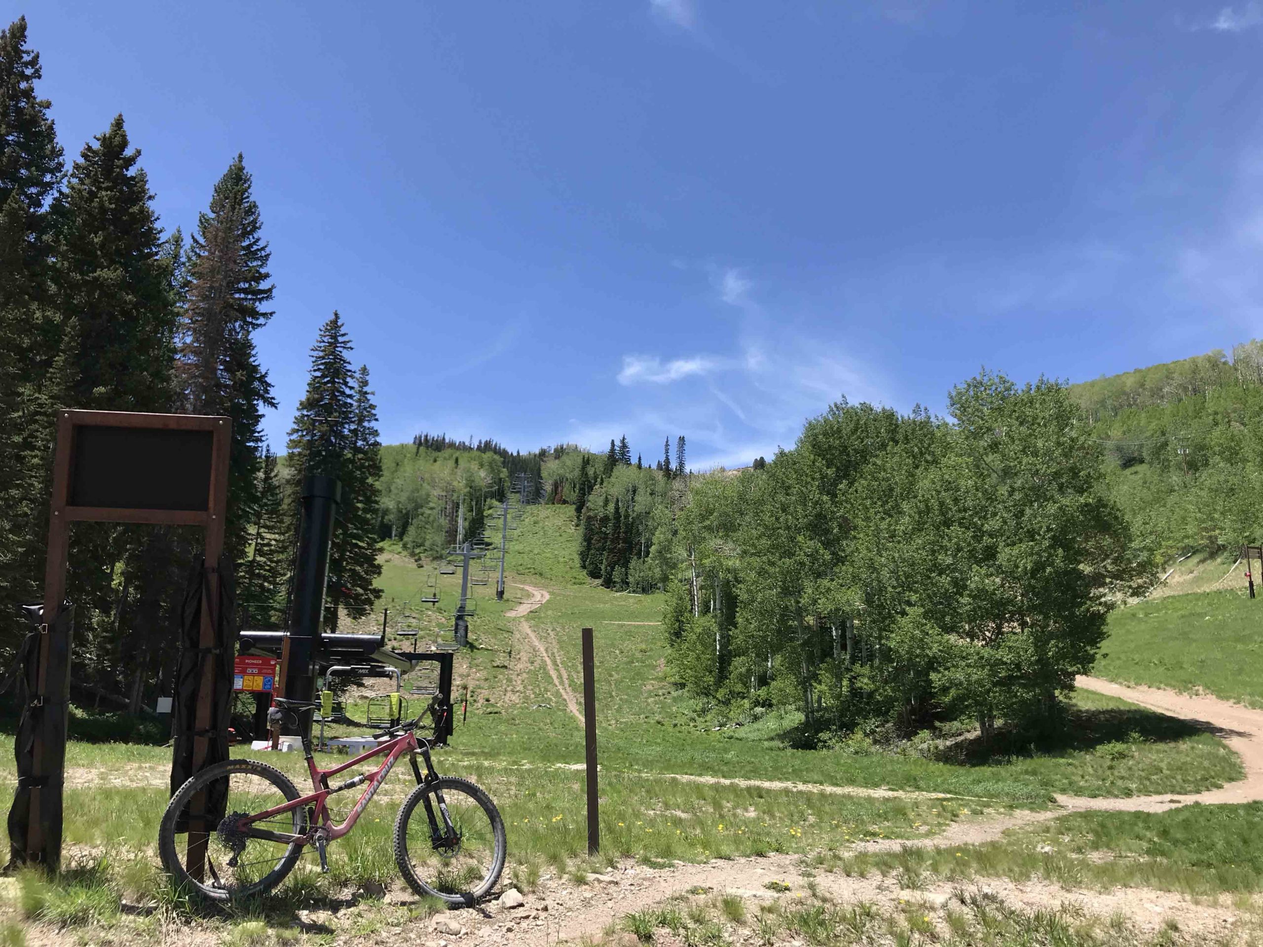
Take the road up on the right. You'll go right past the base of McConkey's Ski Lift
-
Almost to the Powder Monkey Statue! Rest Time
-
Backside of Brighton Area
-
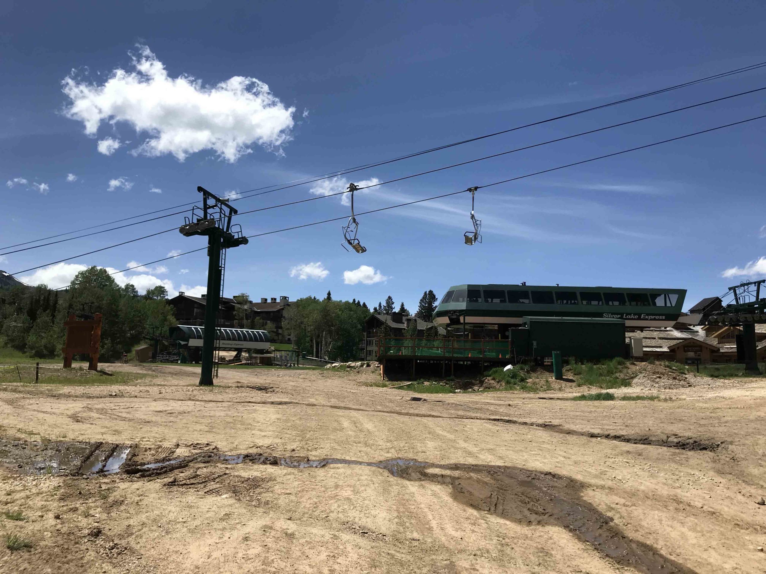
Stop your fitness app right as you pass the Silver Lake Express Lifthouse/Deck on your right.