Kessler Peak
A breathtaking 3 mile ascent of Kessler Peak
All racers will receive a race hat
*HAT IS UNDER DESIGN*
Make sure to read the full course description below for important information including safety & warnings
View Full Course Description
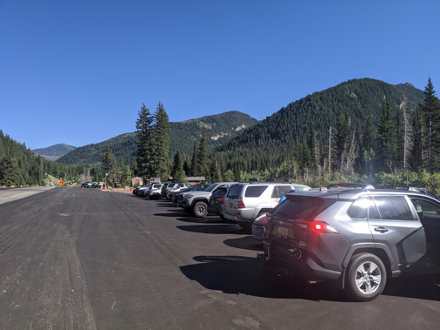
Parking: Park at the Mill D / Cardiff Fork Trailhead. There is plenty of parking on both sides of the road, but it does get busy here! Click here for parking directions.
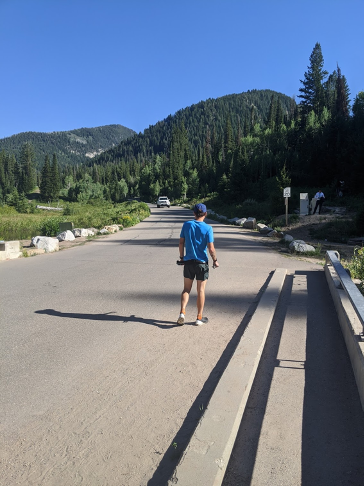
Start/Finish: On the right side of the road, a paved road heads up Cardiff Fork. Start your fitness app in the middle of the bridge crossing just down the hill from the parking lot. Stop your finish app at the top of Kessler Peak!
-
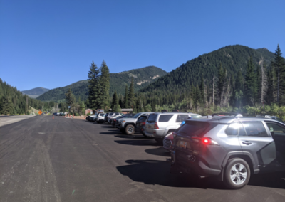
Parking Area
-

Start/Finish
-
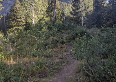
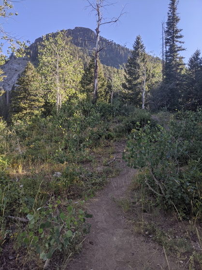
View during ascent
-
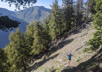
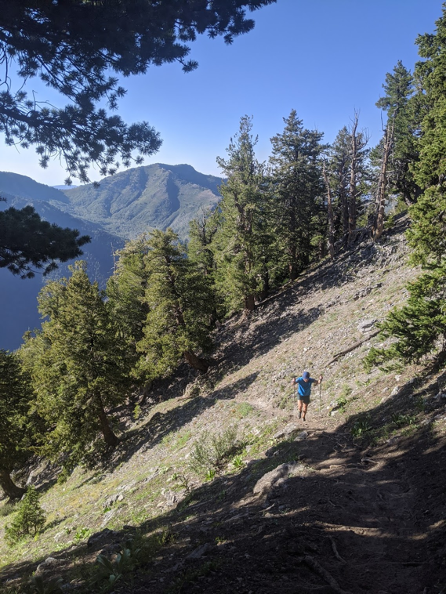
View during ascent
Notes from the Course:
This course is a 3 mile ascent of Kessler Peak in Big Cottonwood Canyon – the race course finishes at the top! There’s no chairlift, so you will have to make your own way back down the mountain, but you can enjoy the summit and take your time on the descent. This climb gets very steep, and is a true challenge. I would recommend bringing poles.
The first 1.2 or so is a gentle climb up the road, starting paved before turning to dirt, and then 4×4 road. The next 1.8 miles climb up a tough and increasingly steep single track (also increasingly beautiful), finishing with a few technical rock sections on the ridgeline which will take you to the summit! The total elevation gain is about 3,000’.
You begin running from the FR 09 bridge crossing over Big Cottonwood Creek. After 0.7 miles you’ll reach the Donut Fall Trailhead, where you’ll see a parking lot straight ahead. You’ll turn right here to stay on the road. Almost immediately you’ll see a gate across the road, with a path around the right side of it. After passing the gate the road will turn back to the left. About 0.3 miles from the gate the road forks, and you will stay right and continue for another 0.2 miles (1.2 miles total).
At this point, you’ll turn onto an unsigned, steep singletrack leading off to your right. From here on up there is only one main trail, so you can focus on putting one foot in front of the other!
After you reach the ridgeline and are nearing the summit, the trail does braid a couple of times, follow the most obvious trail for the best footing. Stop your fitness app at the top! Congrats!
Safety/Warnings and Advice: You are on your own. The course is not marked. There is no support on the course whatsoever. Bring plenty of food and water. Bring a topographical map and know how to use it. Practice proper trail etiquette. Make sure your fitness app/phone has the course downloaded and is fully charged so you don’t lose your way. Apps such as Strava can wear down your phone’s battery quickly. Make sure your battery will last several hours. Weather at this altitude can change quickly. Brief yourself on the weather. Do not go if there is chance of thunder and lightning. Early morning start is recommended as it avoids the heat and gives you plenty of daylight.