Grandeur Peak Loop Challenge
A bucket list climb and loop that shows no mercy! You’re either moving or you’re not. Views of Grandeur await. Just Do It! All participants receive a Grandeur Challenge cap. This Challenge is open thru June 30th.
Make sure to read the course description below for important information.

All Participants Receive Grandeur Challenge Hat plus the chance to win give-aways from our sponsors
View Full Course Description
Adventure and Spectacular Views await you on the Grandeur Peak Loop Challenge. Steep and Sweet! You’re ascent starts immediately out of the parking lot. The path turns quickly into single a track climb to the clouds. This one is relentless and worth it! You’ll reach the top of Grandeur Peak and then descend into Mill Creek Canyon and down Church Fork. At the Pipeline trail junction you will turn right. You’ll run the Pipeline trail all the way to its official end passing the Forest Service Boundary sign. Further on down the trail you’ll reach a viewpoint where their is a small section of the old pipeline embedded alongside the trail, continue right over the small/short rocky section, the trail now descends steeply on a well defined but narrow trail with foilage growing into it. The rest of the route back to the finish (2.2 miles)has many unsigned trail junctions. If you’ve never hiked/ran this route before, you most surely will lose your way without the course downloaded to your fitness app/device (see additional notes on this section in Warnings section below). Additionally, it will take many people 4 hours to reach this part of the route. You need to ensure that your fitness device/phone app has enough battery life to last. Make sure you are carrying a map. Don’t let the mileage fool you. It will take most people between 1-2 hours to complete the first 2.2 miles. You can fool yourself at the top by thinking that the rest is downhill/flat. Read Additional Warnings below.
Dates: Complete this Challenge on your own time thru June 30th.
Course: Download course GPX, Garmin, Strava link at top of this page.
Mileage: 10 mile loop with about 3600′ of elevation gain (see warnings below). Note that your fitness app might give slightly different mileages/elevation as stated above. That is common occurrence. Not a problem!
Start: Start your fitness app (garmin, strava etc) right as you exit the parking lot onto the dirt.
Finish: Stop your fitness app as you return to the parking lot (same place where you started it)
Prize Money: See actual Registration link for info.
Warnings/Suggestsions: You are on your own. There is no support whatsover on this challenge course. The course is not flagged and contains unsigned trail junctions and sections. This challenge requires navigation skills. Make sure to bring a good topographical map and have experience using it. Although a well defined trail, the last 2.2 miles of the route has many unsigned trail junctions that can cause you to lose your way if you don’t have the course downloaded on your app and have enough battery life. If you don’t want to worry about making timely mistakes during this section, I would recommend on a different day before you complete the challenge hiking this 2.2 mile section in reverse from the start/finish with the course loaded on your fitness app so you can see the way. You should also do this if you feel any sort of uneasiness about completing this section. This will help prevent a mental meltdown at the end of your otherwise glorius adventure. Also note that GPS drift may occur. That means when you are actually on the right trail, your gps may look like you are slightly off. While hiking this last 2.2 mile section in reverse I had GPS drift which required me to back track a couple times. Make sure to start early in the morning. This route is deceiving. It will take much longer than you think. Considering that it takes Elite Athletes 2+ hours to complete this course, play it safe and allow up to 5 hours. Make sure your fitness app has enough battery life. You don’t want to run out of battery if you’re using your phone as a navigation tool and you surely don’t want to complete the course but can’t submit results because your phone died. Make sure to wear a shoe that has some burly traction or you’ll be slipping in some areas on the way up. Remember, you are on your own. There is no support of any kind along the way. Bring plenty of water and food and start early in the morning to avoids the highest temperatures of the day and provides adequate sunlight in case you lose your way. CDC and local coronavirus guidelines should be adhered to.
-
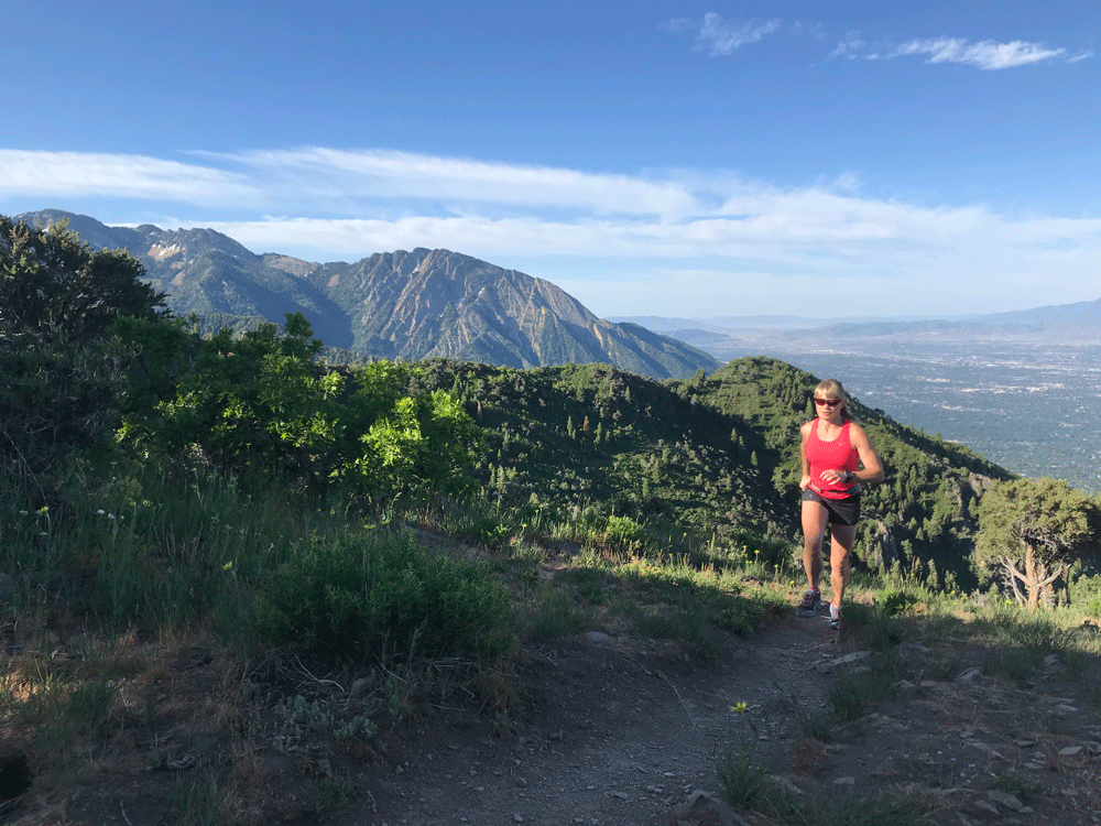
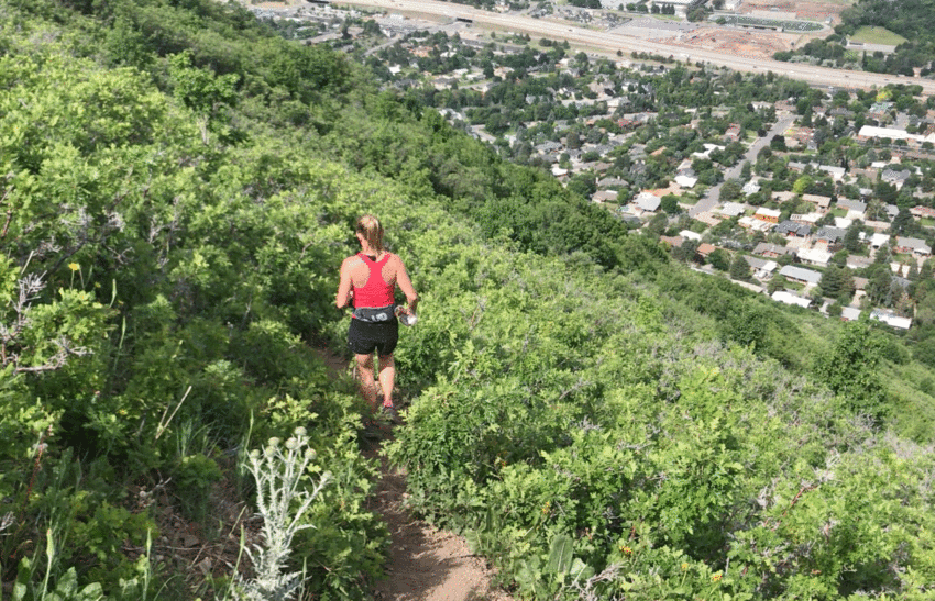
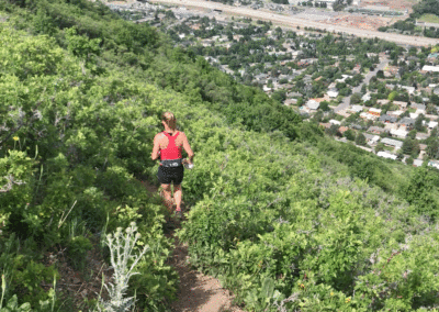
On the Way Up!
-
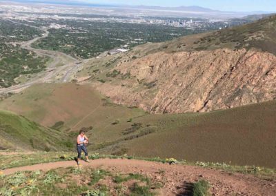
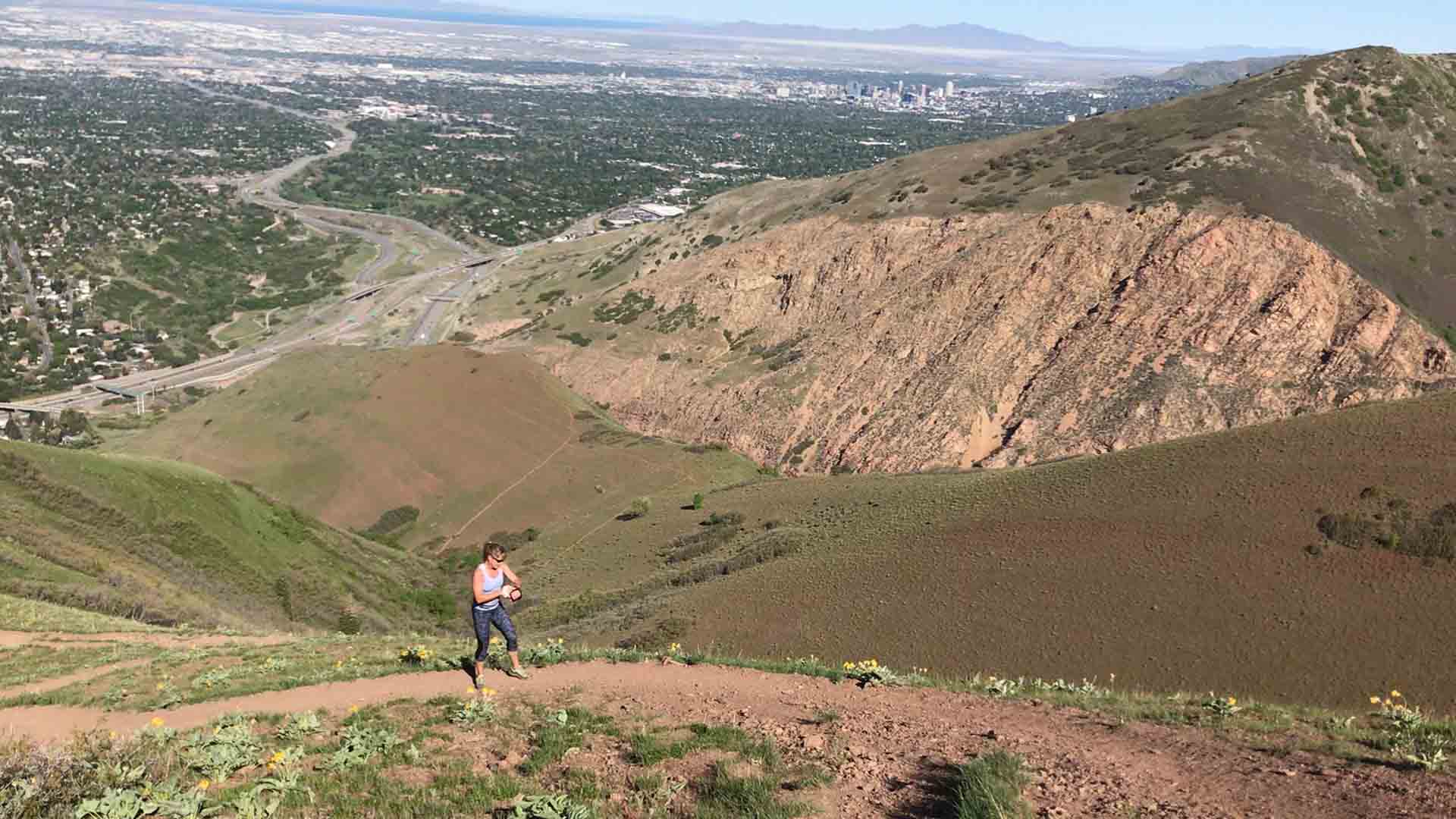
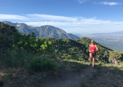
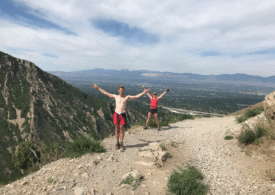
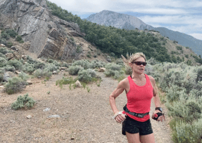
Look at the Views!
-
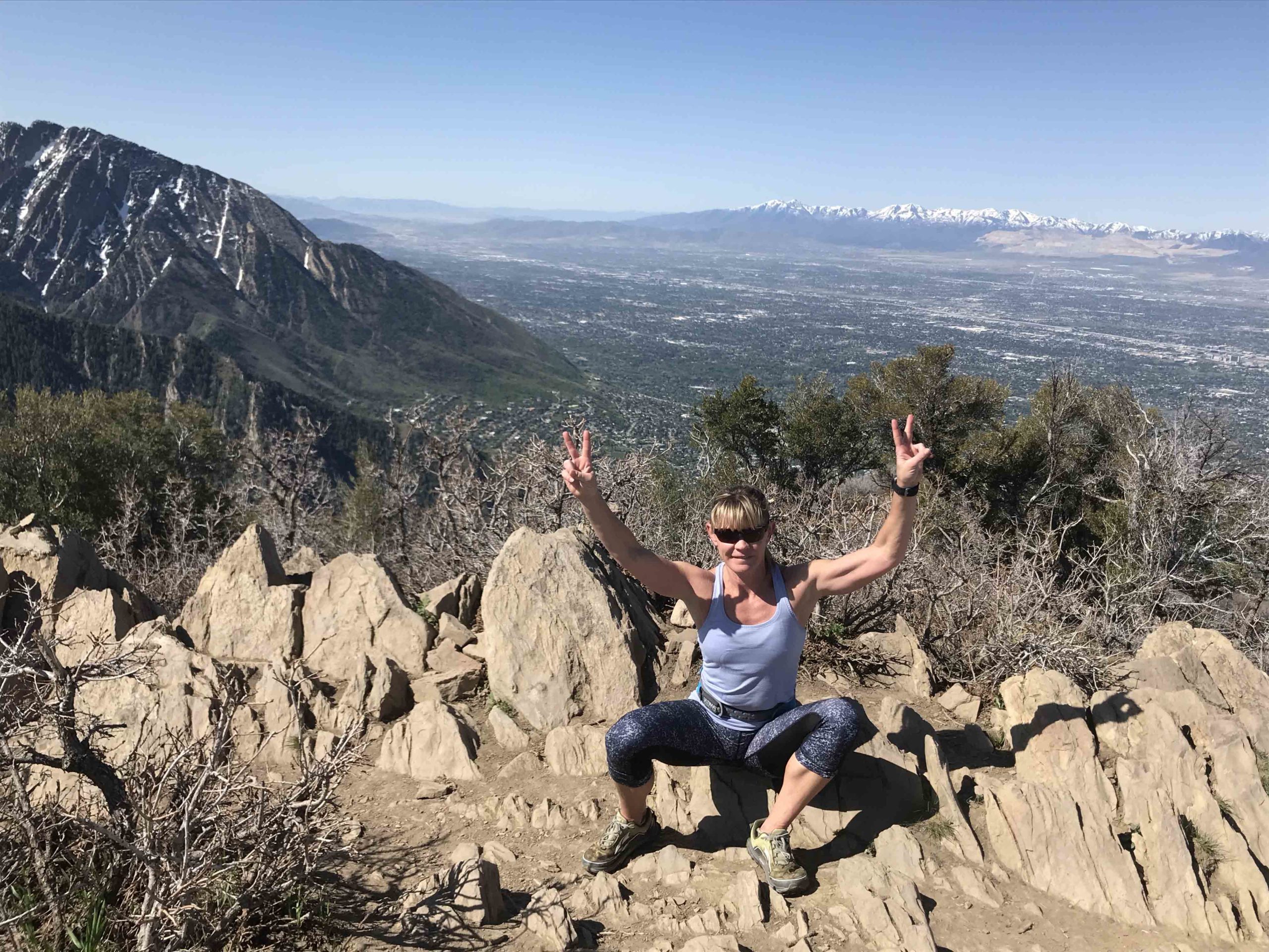
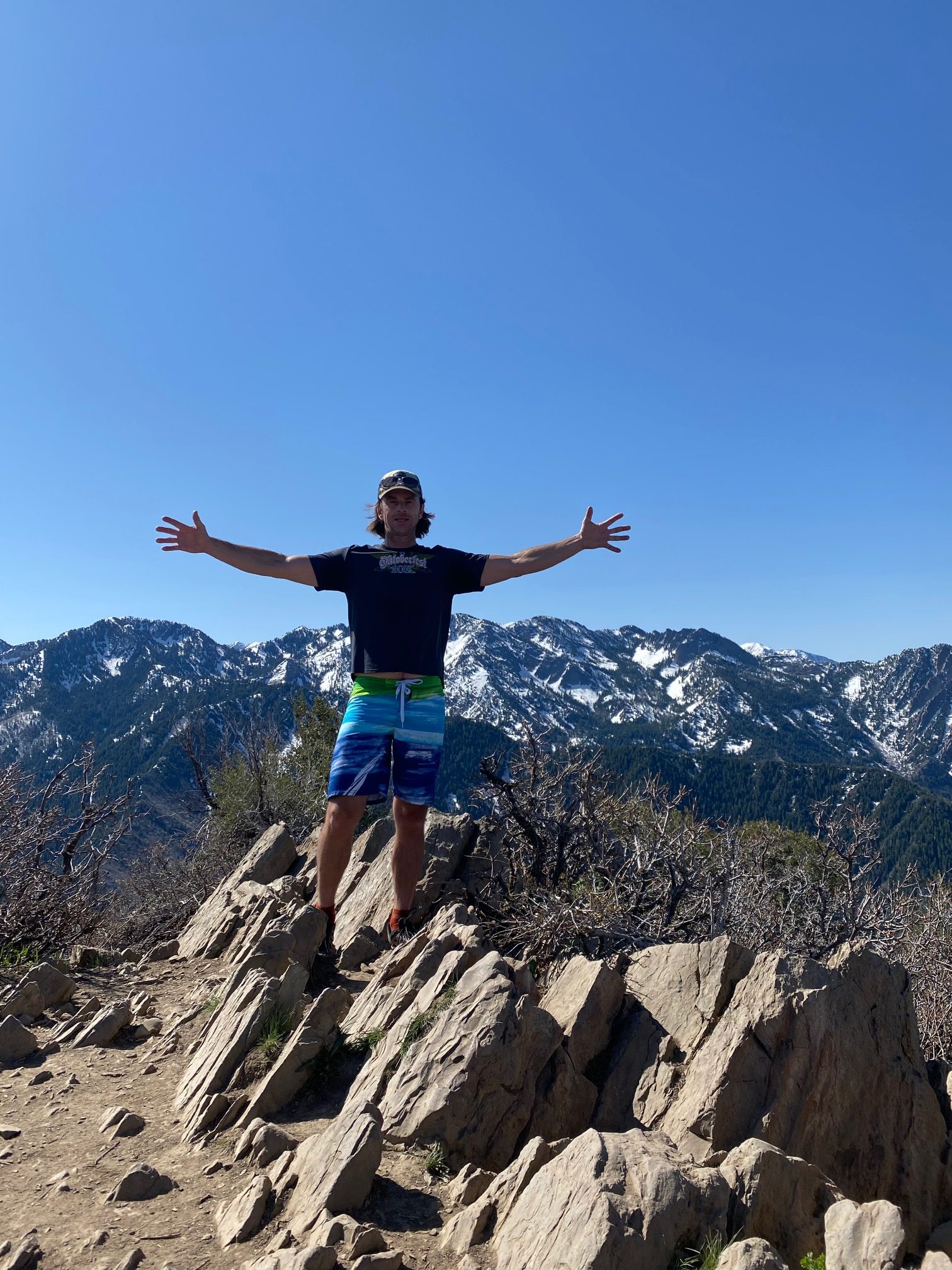
At the Top. Continue over these rocks and wrap down left into Mill Creek
-
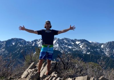
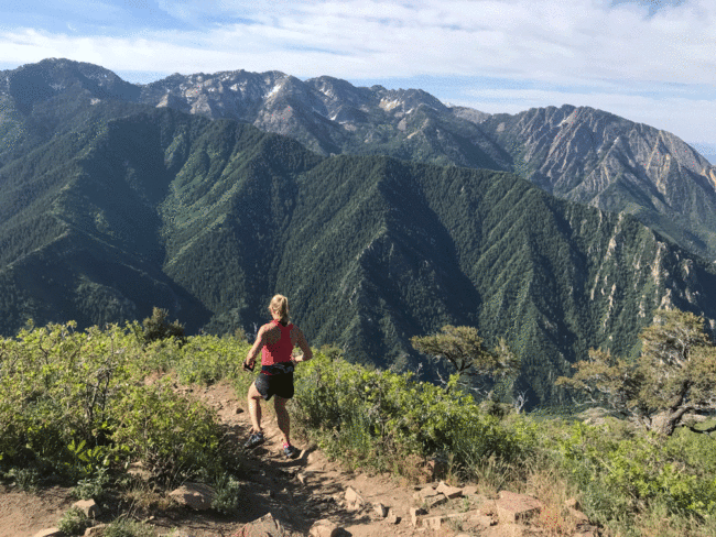
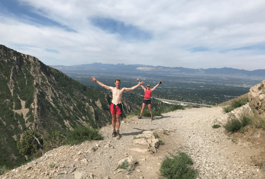
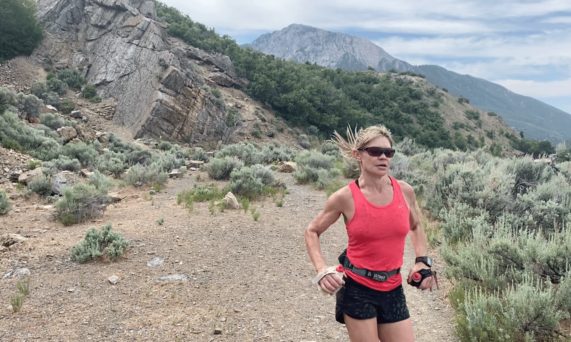
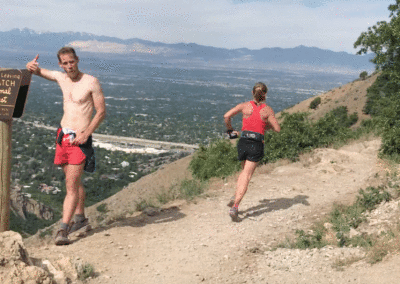
At the top
-
Mill Creek
-
-
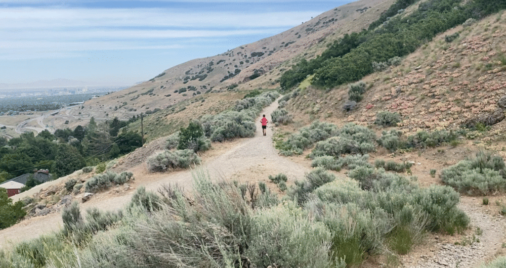
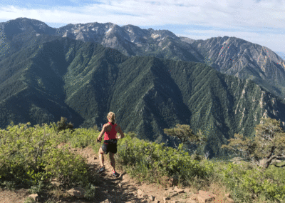
Pipeline Trail
-
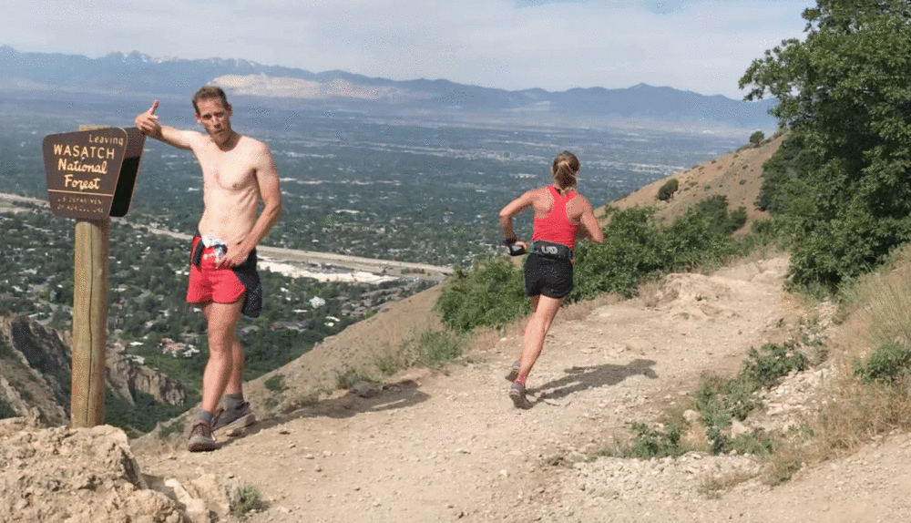
You'll pass the Leaving Forest sign
-
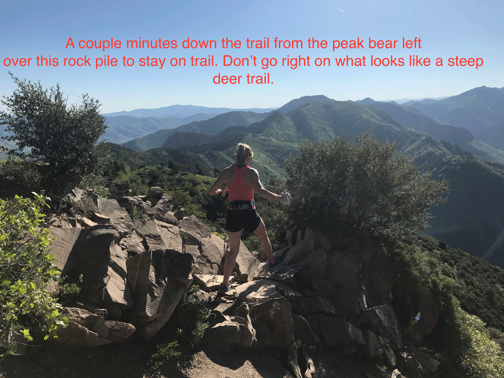
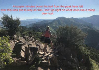
View Point (end of wide trail)
-
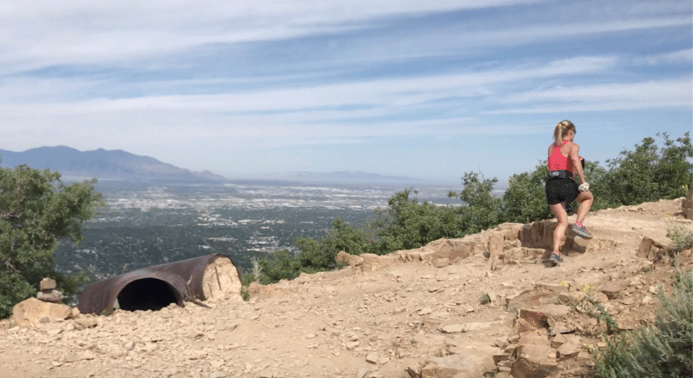
Trail Descends. From here on out are many unsigned junctions.
-
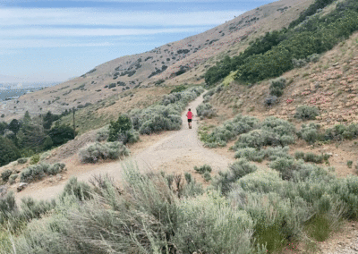
Down on the path
-
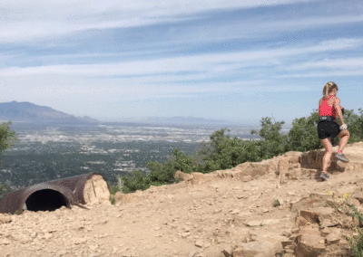
Almost Home!